 BROADCAST-GRADE MAPPING PLATFORMwMaps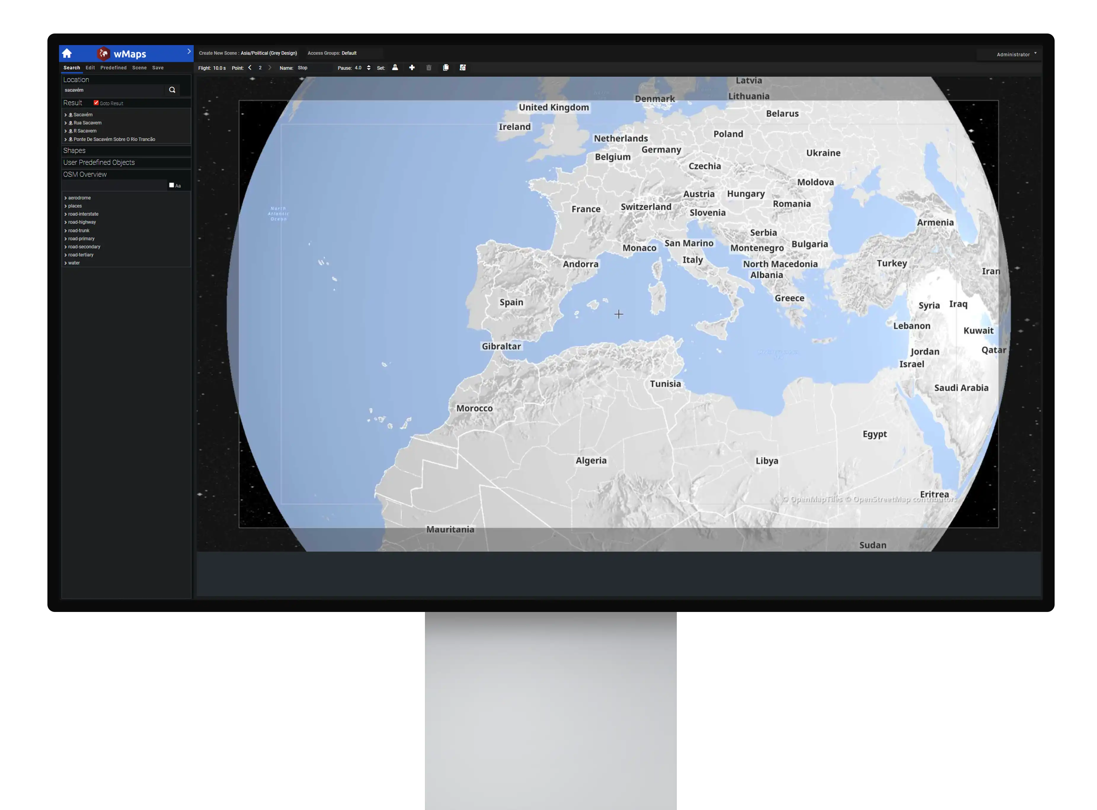
When coverage moves fast, geography becomes an essential frame for context. Built for live storytelling, wMaps is wTVision’s broadcast-grade mapping platform designed to help teams turn “where” into clear on-air visuals — from crafted map sequences to fast updates during live coverage across news, sports, entertainment and live events.
Production Control Room
One product, two ways of working IntuitiveIn one single interface, you can create a rundown of videos and graphics, edit them and decide where they should be displayed during your live show
 For designers and creative teams
Build high-end 2D/3D map animations with advanced creative control, and deliver pre-rendered outputs aligned with MAM-led workflows and playout.
 For journalists and editorial teams
Create fast map edits in a browser-based collaborative environment, designed for daily newsroom execution, aligned with rundown routines and playout workflows.
Why choose usKey Features
 Integration with all the major graphic engines in the market (including our R³ Space Engine)
- Integration with all the major video servers in the market (including wTVision Media Playout Server)
- Intuitive data entry forms for manual input
- Multiple videos output management
- Data Feeds integration for automatic graphics input
- Controls external peripherals such as clocks, buzzers, lights and also works with GPI
- Advanced intelligent scenes system to avoid graphics overlaying
- Integrates information from different voting systems
- Integration with several newsroom systems
- Receives text and call-in votes and manages this data in real time
- Integration with MAM systems
- Supplies real-time lights, scoring, and videowall feedback based on the contestants' responses in real-time
PRODUCTION CONTROL ROOM
Perfect fit for breaking news and explainersWhen events evolve fast, wMaps helps teams keep location-based context clear and on air. Build maps that explain what’s happening, where it’s spreading, and what to watch next — with a consistent visual language that audiences can easily follow.PRODUCTION CONTROL ROOM
Built for elections and live coverageFrom live updates to evolving results, wMaps supports location-based visualization that remains readable and controlled throughout coverage — even as timelines shift and information evolves.PRODUCTION CONTROL ROOM
Ready for sports and live event coverageFrom route-based narratives to stadium and territory context, wMaps helps producers and creative teams bring geographic clarity into sports environments with broadcast-grade precision.